Today is Wednesday, October 7. There is a tropical depression sitting in the southwestern Gulf, and if the forecast holds it becomes Tropical Storm Isaias today and the Atlantic's first hurricane of 2026 tomorrow. The National Hurricane Center outlook issued at 2 AM this morning listed it as Tropical Depression Nine and said tropical cyclone formation is not expected anywhere else in the basin during the next seven days.
Read that again. The first hurricane of the year. On October 8.
I have lived in Cape Coral my whole life and I have never seen a season do this. If you have a date on the books for the back half of this month, the number that matters to you is not the storm's category. It is the wind speed in your own yard on your own Saturday afternoon, and that number has a lot less to do with what is happening in the Gulf this week than most people assume.
The quietest Atlantic season in roughly 120 years
Six named storms so far in 2026: Arthur in June, Bertha in July, Cristobal and Dolly in August, Edouard at the end of August, and a sixth system that organized southwest of the Azores in September. Every single one topped out as a tropical storm. Zero hurricanes. Zero major hurricanes. No Florida landfall of any kind.
According to NOAA records, the latest the Atlantic has ever waited for its first hurricane is October 8, 1905. We are sitting on that date right now, which means Isaias either ties the oldest mark in the books or breaks it. AccuWeather has been framing it as the latest first Atlantic hurricane in over a century and points to 1907 as its own benchmark, so the sources differ slightly on which year the record belongs to. Either way, the honest version is that nothing like this has happened since before anybody's grandparents were buying property out here.
The cause is not a mystery. The strongest El Niño on record has been setting daily sea surface temperature records in the equatorial Pacific, and the atmospheric response to that is sinking air and strong wind shear across the Atlantic. Shear tears a developing storm apart and tilts its circulation before it can stack up and spin. The waves came off Africa all summer the way they always do. They just never got to organize.
When I bring that up, the next sentence out of people is almost always some version of: so we are clear. And that is where I have to slow down, because the Cape Coral answer and the basin-wide answer are not the same answer.
Why a quiet basin is not a quiet October here
October storms in the Atlantic do not come from the same place September storms do. The parade of tropical waves rolling off West Africa steps down sharply once the calendar turns, and the eastern Atlantic largely closes for business. What opens instead is the western Caribbean. The textbook October setup is a system that spins up down near the Yucatan Channel and then gets picked up and thrown northeast, fast, directly across the Florida peninsula.
That is the geometry that points at us. And it produces a statistic most people here do not know: South Florida is the one place in the United States where more hurricanes have struck in October than in any other month of the year. Not September. October.
The practical difference is the fuse. A Cape Verde storm in September gives you eight to ten days of watching a cone narrow across the open Atlantic. A western Caribbean storm in October can go from a blob on the satellite loop to a named system aimed at Lee County in about three days. Less shear-killing distance to cover, less time for a forecast to settle, and far less warning for anybody holding a Saturday date.
Wilma and Milton both happened in October
Two years ago this Friday, on October 9, 2024, Hurricane Milton came ashore near Siesta Key as a Category 3. Everybody in Lee County remembers where they were for that one.
The closer call for Cape Coral specifically was Wilma. On October 24, 2005, Wilma made landfall near Cape Romano as a Category 3 with 120 mph winds and ran its eyewall straight across the Collier-Lee county line. Page Field measured sustained winds of 62 mph. Southwest Florida International recorded a gust of 79 mph. Roughly 208,000 electric customers in the region lost power, and insured and uninsured damage in Lee County came to about $101 million.
October 24 is three weeks from Saturday. I am not saying that to scare anybody off a date. I am saying it because the version of hurricane season most people carry around in their head ends somewhere around Labor Day, and the actual season runs through November 30.
The number that actually cancels your party is 15
Here is the part I wish more people asked about before booking rather than after.
Our weather policy is written down and it is specific. We pull the National Weather Service hourly forecast for your venue's zip code from forecast.weather.gov, and we read it at 7:00 AM local time on the day of your event. If that forecast shows thunderstorms during your scheduled window, or sustained winds greater than 15 mph, the event is cancelled unless you have an approved indoor location. During an event, if lightning strikes within five miles we suspend operation, and it has to stay clear for a full 30 minutes before anybody gets back on the equipment. The full text is on our terms page.
Fifteen miles per hour sustained is the line, and that is the thing worth sitting with. A storm does not have to come anywhere near Cape Coral to put 15 mph sustained on a Saturday afternoon in a backyard off Chiquita or Beach Parkway. A system 400 miles away in the central Gulf tightens the pressure gradient across the whole peninsula, and the breeze that shows up here is perfectly ordinary looking weather that happens to be over the number. Blue sky, decent light, and an inflatable we are not going to stake down and walk away from.
That is how an October tropical system ends a Cape Coral party. Not with a direct hit. With a gradient.
Which means the decision point on an October date is earlier than people expect. Our cancellation terms run on a 48-hour clock, so for a Saturday party the real conversation happens Thursday, not Saturday morning. By Thursday the NWS hourly grid for your zip code is usually honest about whether your window is going to hold. That is the day to call.
What the ground is doing, from somebody who measures it
Separate issue, same month, and it is the one I notice on the job more than the storm talk.
We are at the back end of the wet season. The National Weather Service puts the South Florida wet season end around October 15, and until that handoff finishes the water table under most of this city is as high as it gets all year. The older sections of the Cape feel it worst, because those lots were platted first and a lot of them sit a little lower relative to the swale than the newer NW grid does.
What that changes is duration, not intensity. A July afternoon thunderstorm dumps an inch in 25 minutes on ground that can still take it, and the yard is walkable by dinner. A tropical rain band in October lays down the same inch over four hours onto soil with nowhere left to put it, and that yard is soft for a day and a half. If your party is Saturday and the outer bands of something came through Thursday night, the problem on Saturday is not rain. It is that my stakes are going into pudding and your guests are tracking it into the house.
That is a rescheduling conversation, and it is a better one to have on Thursday than at 9 AM on a Saturday with a truck in your driveway.
What I would actually do with an October date
Book it. I am not talking anybody out of the last three weekends of October, and the back half of the month is usually when this town gets its first genuinely pleasant afternoons of the year.
But build the date so a bad forecast costs you an adjustment instead of the whole party. Three things do most of that work.
- Take the morning slot. Convective risk and afternoon breeze both build through the day. A party that is up at 10 and packed by 2 dodges most of what October throws.
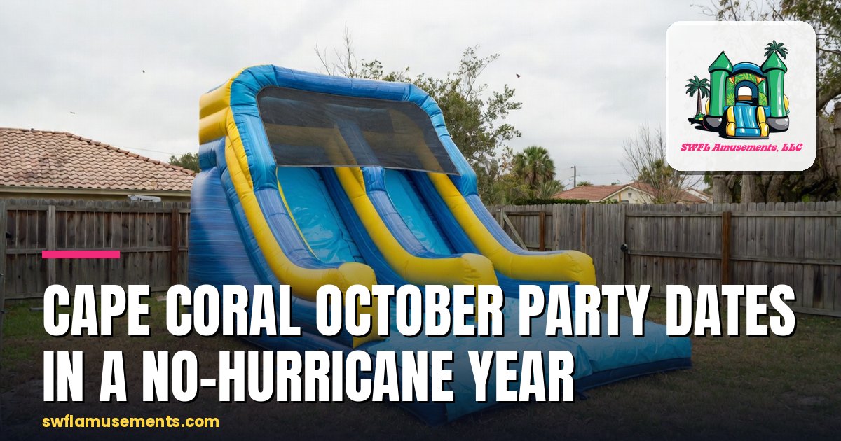
- Pick equipment that works either way. The 15-foot Double Splash runs at $399 for the day and operates wet or dry, which means an October morning that comes in at 74 degrees and gray is still a party, just a dry one. A dedicated wet-only unit does not give you that choice.
- Name an indoor backup now, not later. Our policy keeps an event alive if there is an approved indoor location, and we will bring as much of the contracted equipment as that space can safely hold. A garage, a church fellowship hall, a clubhouse. It has to be identified ahead of time to count.
And then watch the right thing. Not the cone, not the Facebook weather pages, not the number of named storms the season has produced. Watch the hourly wind forecast for your own zip code, and know that 15 mph sustained is where the day turns.
If you have something on the calendar for the back half of this month and you want to walk the wind numbers with somebody before Thursday, call us at (239) 212-0011. That conversation takes about four minutes and it is the cheapest part of the whole event.
About the author
Christopher Johnson — Co-owner, SWFL Amusements LLC
Chris is co-owner of SWFL Amusements and a professional surveyor by day. He spends his working hours mapping Southwest Florida properties, which means he knows the canal-front quirks, the older Cape circuit grid, and which intersections back up during snowbird season. He proudly lives in Cape Coral, where he was born and raised.